This is the English briefing. The full Thai guide includes additional examples and checklists. ไทย ↗
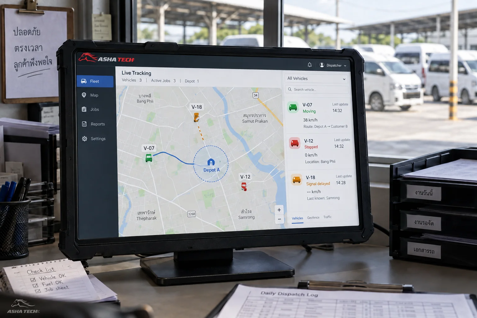
Track the timestamp, accuracy and source of the latest location. Distinguish a stationary vehicle from a device that stopped reporting.
Define the records and rules
Track the timestamp, accuracy and source of the latest location. Distinguish a stationary vehicle from a device that stopped reporting.
Connect the operational workflow
Use an appropriate boundary buffer and dwell time. Keep arrival and departure rules separate from route-deviation alerts.
Checks before implementation
Test delayed positions, poor reception, boundary oscillation and offline devices. Link each alert to a review action and preserve the relevant location history.
Further reading from primary sources
These references support the standards and integration topics discussed. Workflow examples and figures illustrate system design.
Sources checked: 11 October 2026. Confirm current API access and requirements before implementation.